
NISAR Launch on July 30 to Mark a New Era in Indo-US Space Collaboration, Says Dr Jitendra Singh
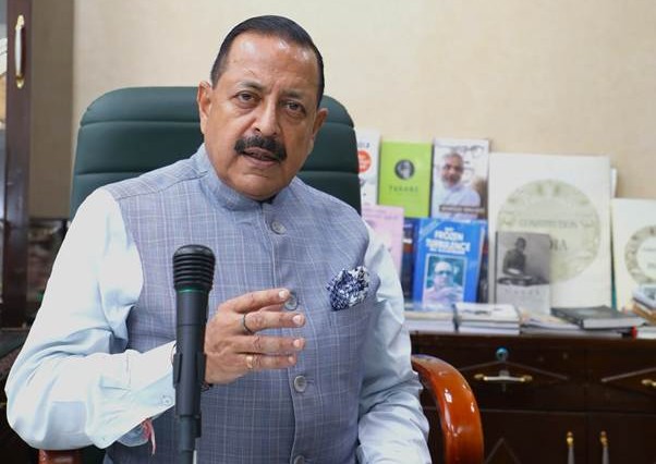
Union Minister of State for Science and Technology Dr Jitendra Singh briefs media on the launch of NISAR in New Delhi on Sunday
New Delhi, July 27: The Indian Space Research Organisation’s (ISRO) upcoming launch of the NASA-ISRO Synthetic Aperture Radar (NISAR) satellite on July 30 is set to become a global benchmark for scientific collaboration between India and the United States, according to Union Minister of State for Science and Technology Dr Jitendra Singh. The mission, scheduled to lift off at 17:40 hrs IST from the Satish Dhawan Space Centre, Sriharikota, represents the first joint Earth observation project between ISRO and NASA.
Dr Singh, briefing the media in the national capital, described NISAR as “India’s scientific handshake with the world,” adding that the mission underscores Prime Minister Narendra Modi’s vision of India as a ‘Vishwa Bandhu’, a global partner contributing to humanity’s collective welfare.
A Symbol of Strategic Scientific Partnership
Calling it a milestone in ISRO’s international collaborations, the minister highlighted that NISAR will serve as a critical global resource, offering freely accessible data on disaster management, agriculture, climate change, and ecosystem disturbances.
“This mission is not just about launching a satellite; it is about what two democracies committed to science and global good can achieve together,” said Dr Singh.
Shared Technological Contributions
The NISAR satellite combines the technological strengths of both space agencies:
- NASA has developed the L-Band Synthetic Aperture Radar (SAR), a high-rate telecommunications subsystem, GPS receivers, and a 12-meter deployable antenna.
- ISRO has contributed the S-Band SAR payload, the spacecraft bus, and the GSLV-F16 launch vehicle, which will place the 2,392 kg satellite into a sun-synchronous orbit.
This is the first time a GSLV rocket is being used for a sun-synchronous polar orbit, demonstrating ISRO’s expanding technical capabilities.
Broad Applications for Global Impact
NISAR will revisit and image the Earth’s land and ice surfaces every 12 days, offering high-resolution, day-and-night, all-weather imaging with a swath width of 242 km using SweepSAR technology.
The mission will enable:
- Monitoring of natural hazards such as earthquakes, volcanic activity, landslides, and tsunamis
- Tracking of soil moisture, shoreline changes, and sea ice
- Crop mapping, storm tracking, and ecosystem surveillance
- Ship detection and classification of disaster-prone areas
All data generated will be freely accessible within one to two days, with near real-time access during emergencies, a move Dr Singh said would democratize critical Earth observation data, especially benefiting developing nations.
Supporting Climate Resilience and Sustainability
Dr Singh emphasized that Earth observation missions like NISAR are crucial in the era of climate change and sustainable development.
“These are not just scientific missions anymore—they are essential tools for planning, policy formulation, and disaster preparedness,” he said.
The mission comes after more than a decade of development and over $1.5 billion in joint investment, and is expected to have transformative value for global research, environmental monitoring, and decision-making.
As the countdown to the July 30 launch begins, Dr Singh reiterated that India’s space programme is moving beyond conventional goals and stepping into a new phase of international cooperation and global knowledge leadership.
“NISAR is not just a satellite—it is a symbol of what India and the world can achieve through shared science,” he concluded.