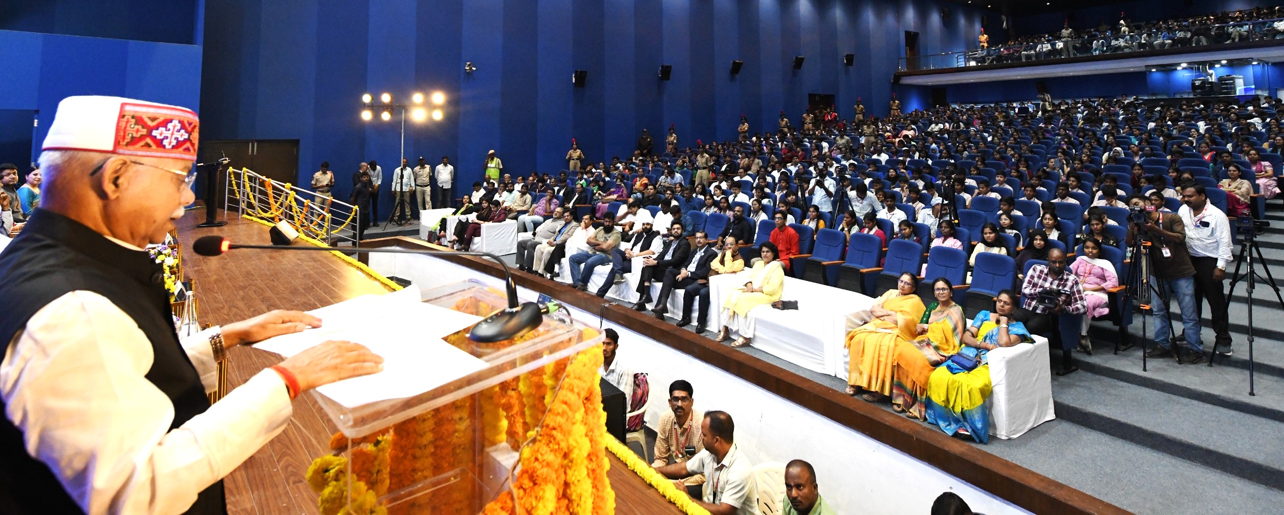
135 Satellites Launched Across 5 Categories; 56 Currently Operational: Govt
India has launched 135 satellites across communication, navigation, earth observation, space science and technology demonstration categories, with 56 satellites currently operational, according to data shared in Parliament.
Earth Observation Leads with 50 Launches; NavIC Expands Rail, Fisheries and Disaster Support Footprint
New Delhi, February 12: India has launched 135 satellites across communication, navigation, earth observation, space science and technology demonstration categories, with 56 satellites currently operational, according to data shared in Parliament.
The details, provided by Union minister Dr Jitendra Singh in a written reply in the Rajya Sabha in response to a question, show that Earth Observation satellites account for the largest share, followed by Communication and Technology Demonstration missions.
Satellite Launch and Operational Status
| Category | Satellites Launched | Operational |
|---|---|---|
| Earth Observation | 50 | 21 |
| Communication | 43 | 20 |
| Navigation | 11 | 8 |
| Space Science Missions | 7 | 4 |
| Technology Demonstration | 24 | 3 |
| Total | 135 | 56 |
Earth Observation satellites form the backbone of India’s remote sensing and monitoring capabilities, while Communication satellites continue to power broadcast, telecom and connectivity services.
NavIC Expands Real-World Adoption
The commercial and public utilisation of NavIC (Navigation with Indian Constellation) has grown significantly in recent years.
Real-time train tracking using NavIC is operational on more than 10,400 locomotives. Over 40,000 fishing vessels are equipped with NavIC receivers for tracking and emergency alerts. More than 60 mobile handset models from major global manufacturers now support NavIC-enabled positioning.
To strengthen the constellation, ISRO is in the process of launching the NVS series (NVS-03, NVS-04 and NVS-05), representing the second-generation navigation satellites.
Disaster Management and Maritime Safety
Satellite communication and navigation systems are playing a major role in disaster management and safety services.
Disaster alerts and personal distress connectivity are enabled through GSAT and NavIC/GAGAN systems, along with Vessel Communication and Support Systems (VCSS) operated by the Department of Fisheries.
Search-and-rescue operations using satellites under the COSPAS-SARSAT programme have supported life-saving interventions across India’s service region.
NavIC’s one-way messaging service broadcasts early warnings for cyclones, tsunamis and high waves directly to receivers on boats, in coordination with the Indian National Centre for Ocean Information Services (INCOIS). The system also provides Potential Fishing Zone advisories and international maritime boundary alerts to prevent fishermen from straying into foreign waters.
Communication Satellites Power Broadcasting and Connectivity
Communication satellites support television broadcasting, DTH services, telecommunication, VSAT services, radio networking, Headend in the Sky (HITS), Digital Satellite News Gathering (DSNG), in-flight and maritime connectivity.
They also enable societal applications including tele-education, tele-medicine and disaster response management.
Satellite Internet to Bridge Digital Divide
Satellite internet services are emerging as a critical solution to bridge India’s digital divide, particularly across diverse geographies including hills and islands.
Programmes such as BharatNet and Digital India are leveraging satellite connectivity to expand broadband reach in underserved regions.