Warangal Covered by Hyderabad Radar; No Proposal for Doppler Weather Radar Installation: Centre
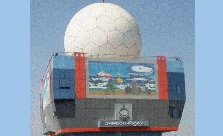
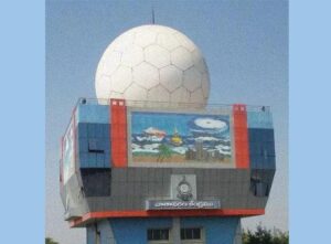
Warangal falls within the effective range of the S-band Doppler Weather Radar installed in Hyderabad, located approximately 120–150 km away, with a radial coverage of up to 400 km.
Govt says existing coverage, early warning systems sufficient for district needs

New Delhi: The Union government has clarified that there is no proposal to install a Doppler Weather Radar (DWR) in Warangal district of Telangana, citing adequate coverage from existing radar infrastructure and advanced early warning systems.
The information was provided by Dr Jitendra Singh, Minister of State (Independent Charge) for Earth Sciences and Science & Technology, in a written reply in the Lok Sabha on Wednesday.
Warangal falls within the effective range of the S-band Doppler Weather Radar installed in Hyderabad, located approximately 120–150 km away, with a radial coverage of up to 400 km. The radar network, including installations in Hyderabad and Visakhapatnam, already enables monitoring of weather systems affecting the district.
The district is equipped with five Automatic Weather Stations and rain gauges at Hanamkonda, Mamnoor-KVK, Siddhapur, PTO Warangal, and Mulugu, supporting localised data collection and forecasting.
The Government noted that Warangal lies in Seismic Zone II, close to Zone III, indicating relatively low seismic risk, and therefore no seismic microzonation study has been undertaken so far.
Weather alerts and forecasts are disseminated through a wide range of platforms, including mobile applications such as MAUSAM, MEGHDOOT, DAMINI and UMANG, as well as SMS, email, social media, and the SACHET alert system. District authorities also receive real-time updates through integrated command centres and direct communication channels.
The Ministry of Earth Sciences has developed a comprehensive Multi-Hazard Early Warning System (MHEWS), supported by high-resolution models, remote sensing, and a GIS-based Decision Support System, enabling timely detection and monitoring of severe weather events such as cyclones, heatwaves, thunderstorms, and heavy rainfall across the country, including Warangal.
Forecasts are issued across multiple timelines—from nowcasts (up to 3 hours) to seasonal outlooks—and are shared with disaster management authorities, sectoral users, and the public to support preparedness and mitigation efforts.
The Government added that infrastructure expansion, including additional radars, depends on vulnerability assessment, technical feasibility, land availability, and funding approvals, with ongoing efforts to strengthen observation networks nationwide.